I’ve loved the American Memory site from the Library of Congress for years , and NO!… that’s not sad!
The following images of Atlanta come from the Panoramic Maps Collection. The collection includes cities from all over the country and the maps combine landmarks, streets and geography in a slanted perspective. As you will see the images go from broad overviews to highly magnified details of specific areas. The specialized .SID file type used by the Library of Congress allows to zoom in and out, and the maps are captured beautifully. For those inclined, links to Windows and OS X .SID viewers can be found here
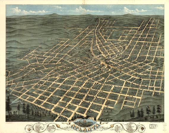
Birds eye view of the city of Atlanta, the capitol of Georgia 1871. Drawn & published by A. Ruger.


Note the two railroad round houses (top left lower right) they will be pictured in another map below.
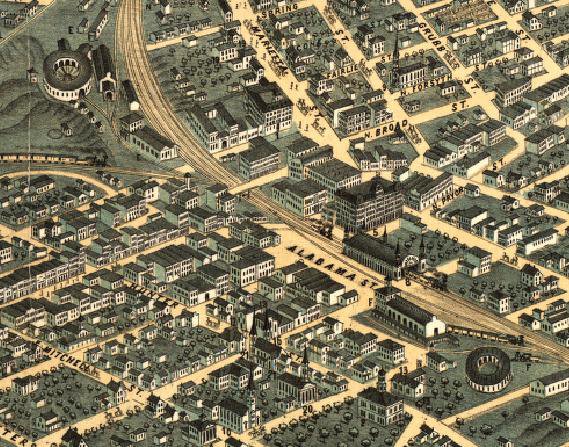
Bird’s eye view of Atlanta, Fulton Co., State capital, Georgia. Drawn by Aug. Koch. Hughes Litho. Co. c1892


Here the area’s around the roundhouses (top left lower right) have been developed, with the addition of the capital building.

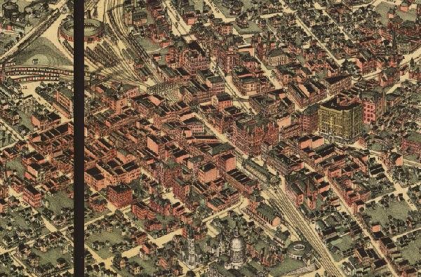
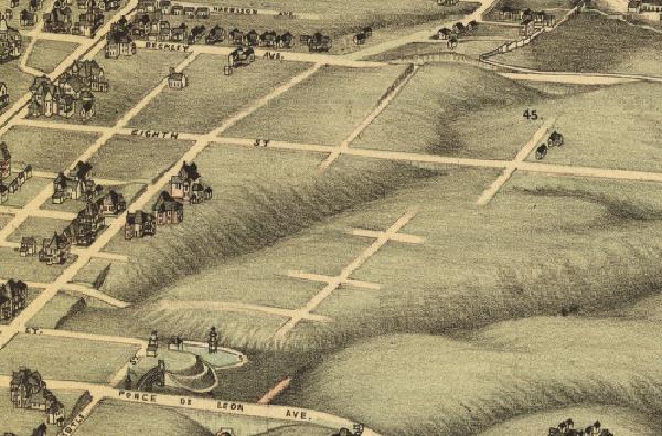
My neighborhood, a little changed.

Oakland Cemetery
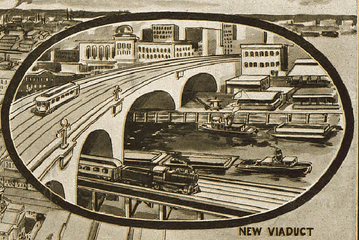
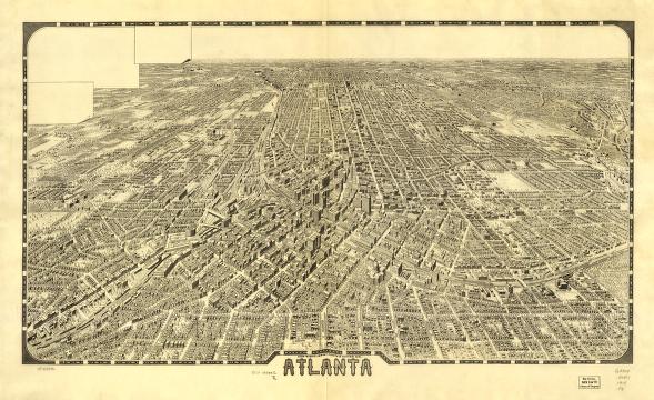
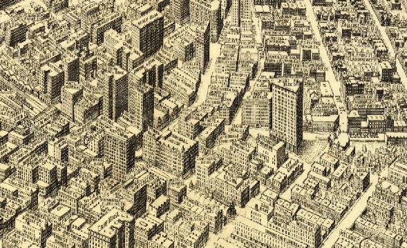
Foote and Davies Company (Atlanta, Ga.) c1919